For more than sixty years, an invisible boundary ran through the conflict between India and Pakistan. It separated neither territories nor armies. It separated politics from water.
On September 19, 1960, in Karachi, the two countries signed the Indus Waters Treaty after nine years of negotiations supported by the World Bank. The agreement organized the sharing of a river system on which tens of millions of people already depended: the three eastern rivers — the Ravi, Beas and Sutlej — were allocated primarily to India, while the Indus, Jhelum and Chenab, which flow toward Pakistan after passing through territory controlled by India, were allocated primarily to Pakistan. Both sides retained certain rights of use, including for hydropower.
The architecture was technical. Its achievement was political.
India and Pakistan would go on to fight wars, endure military crises, sever diplomatic ties and remain locked in permanent confrontation over Kashmir. Yet the treaty survived. When almost everything divided the two states, engineers continued to exchange information about rivers. A Permanent Indus Commission provided a channel for addressing certain questions; a neutral expert could examine technical disputes; and a court of arbitration could intervene when disagreements became legal.
The system did not reconcile India and Pakistan. It accomplished something more modest, and perhaps more valuable: it prevented part of their conflict from contaminating a resource neither country could do without.
That exception is now under threat.
Following a deadly attack in Indian-administered Kashmir, New Delhi decided to place the treaty “in abeyance.” The decision transformed a longstanding disagreement over the interpretation of specific provisions into a much more fundamental question: can a state continue to regard a treaty as binding only for as long as its political relationship with its neighbor remains tolerable?
On August 31, 2026, the Court of Arbitration constituted under the treaty answered in the negative. It found that the agreement remained fully in force and that India’s decision could not release New Delhi from its obligations. It also ordered interim measures concerning the Ratle hydroelectric project on the Chenab, pending a neutral expert’s determination on certain aspects of the project.
India, however, does not recognize the authority of this arbitral process and rejects its conclusions.
This is where the dispute changes in nature. It is no longer simply about the height of a dam, the capacity of a reservoir or the operating parameters of a hydroelectric plant. Two conceptions of the system now confront each other: one in which the treaty’s mechanisms continue to operate independently of political relations between the states, and another in which sovereignty takes precedence over a process India disputes as a constraint on its strategic choices.
Between them flows the Chenab.
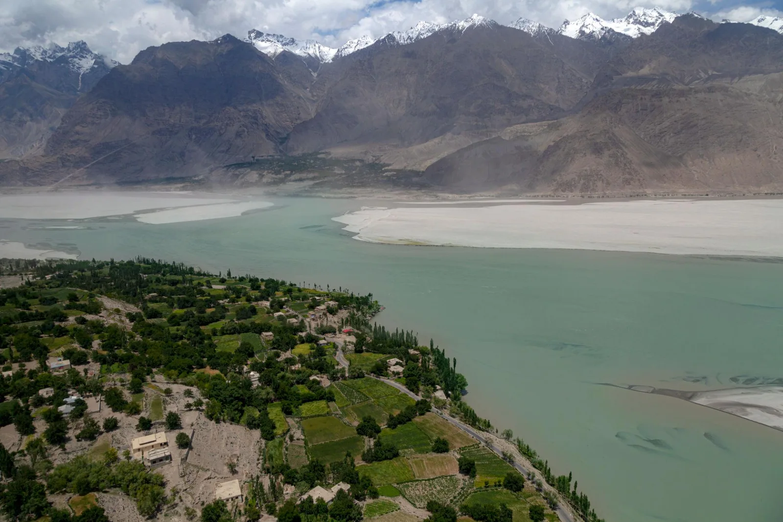
Geography makes this confrontation particularly asymmetric. Much of the water on which Pakistan depends arrives from basins located upstream, in territory controlled by India. Pakistan therefore occupies a position familiar to downstream states: part of its water security depends on decisions taken beyond its borders.
That dependence is not abstract. The Indus Basin supports one of the world’s largest irrigation systems. Pakistani agriculture, food production, the supply of numerous communities and part of the country’s electricity generation are tied to this hydraulic architecture. Water descending from the Himalayas is not merely a natural resource. It flows successively through agricultural policy, food prices, rural incomes, energy production and, ultimately, the country’s economic stability.
This was precisely the vulnerability the 1960 treaty sought to neutralize.
It did not eliminate the geographical advantage of the upstream state. It transformed that advantage into rules.
For decades, India has retained the right to develop certain hydroelectric projects on the western rivers, subject to constraints established by the agreement. Pakistan has repeatedly challenged specific features of those projects, fearing that the accumulation of storage and regulation capacity could gradually give New Delhi greater influence over river flows. India, for its part, defends its right to exploit its hydropower potential within what it considers the limits permitted by the treaty.
Dams have therefore become the physical expression of a much larger question: where does the legitimate use of a shared river end, and where does the strategic capacity of the upstream state begin?
For a long time, law and engineering helped contain that question. Experts debated intakes, spillways, storage volumes and operating levels. Behind their technical vocabulary, however, lay an essential geopolitical function: preventing every new power plant from becoming a bilateral crisis.
The weakening of the treaty risks removing that filter.
This does not mean that India can simply turn off a tap and dry out Pakistan. Hydrology, existing infrastructure, storage capacity and physical constraints place considerable limits on such a scenario. Permanently altering the flows of a river system of this scale would require infrastructure, investment and time.
But hydraulic power is not measured solely by the ability to stop a river entirely. It can also lie in the capacity to alter the timing of storage and releases, expand reservoir capacity, multiply upstream infrastructure or simply introduce uncertainty into an agricultural system that depends on predictable flows.
Climate change makes that predictability even more valuable.
The Indus Basin is fed by rainfall, snow and glaciers across Asia’s high mountain ranges. Variations in monsoons, heat events, droughts and the gradual transformation of the cryosphere are already changing the conditions under which water must be managed. As the resource becomes more variable, the political value of mechanisms capable of organizing its distribution increases.
That is one of the paradoxes of the current crisis. The treaty is being challenged at precisely the moment when the structural reasons for having such a treaty are becoming stronger.
There is also a broader transformation of India behind this evolution. The India of 2026 is no longer the country that negotiated under World Bank auspices in the aftermath of partition. Its population, economy, energy requirements and international weight have changed scale. So have its infrastructure ambitions. An arrangement conceived in the middle of the twentieth century is therefore confronting a power seeking greater room for maneuver in the twenty-first.
Pakistan cannot view that evolution as a simple technical renegotiation. For Islamabad, the 1960 architecture is precisely what guarantees that the widening asymmetry between the two countries does not automatically become a hydraulic asymmetry.
The conflict over the Indus is therefore becoming a test of something that extends far beyond South Asia.
Major transboundary rivers are rarely shared by states of equal power. The Nile, the Mekong, the Tigris and Euphrates, and the rivers descending from the Himalayas almost always place some countries upstream and others downstream. Everywhere, dams, electricity generation, irrigation and climate change are increasing the strategic value of water.
In these systems, treaties perform a particular function. They do not abolish geography; they prevent geography from becoming the rule by itself.
That is why what is unfolding between India and Pakistan deserves attention beyond the two countries. If an agreement that survived more than six decades and several armed conflicts can no longer isolate water from political rivalry, the question will not simply be how much water continues to cross the border.
It will be what remains of a treaty when one of its signatories considers that strategic circumstances allow it to suspend the common framework, while the other relies precisely on that framework to compensate for its geographical vulnerability.
In 1960, India and Pakistan had not resolved their conflict. They had simply decided that a river should not become an extension of it.
Sixty-six years later, that boundary is beginning to disappear.
Main Sources
Permanent Court of Arbitration — Indus Waters Western Rivers Arbitration (Pakistan v. India), award concerning the status of the Indus Waters Treaty and order on interim measures, August 31, 2026.
World Bank — The Indus Waters Treaty 1960 and the Role of the World Bank.
Ministry of Foreign Affairs of Pakistan — statements concerning the August 31, 2026 award and the continued validity of the treaty.
Indus Waters Treaty, 1960 — allocation of the river system and dispute-resolution mechanisms.
Atlas Limits Research Desk
Atlas Limits’ editorial and analytical desk.